
Accurate Mapping Creates Stronger Project Control
Projects move faster when teams have reliable information. Without accurate mapping, planning becomes harder, timelines become uncertain, and communication gaps grow. Drone mapping solves this by providing a clear aerial view of a site that supports layout decisions, documentation, and progress tracking. It allows teams to understand conditions without relying on guesswork or incomplete site photos. Terranova Drones LLC provides mapping services designed for real-world use, helping clients capture accurate data that supports productivity, safety, and better coordination. When teams can see the full picture, they can make smarter decisions, reduce delays, and maintain stronger control from start to finish.
Cell Tower Mapping Supports Communications Infrastructure
Communications infrastructure requires careful planning, strong documentation, and safe evaluation methods. Traditional tower assessments can be time-consuming and may involve additional risk. Drone mapping provides a safer and more efficient way to capture detailed site visuals and data that support upgrades, maintenance, and planning. Cell tower drone mapping services help teams document equipment layout, site conditions, and access areas with clarity. For projects needing Cell tower surveying with drone in U.S, Terranova Drones LLC provides accurate deliverables that support smoother workflows and stronger reporting. The goal is to help communications teams plan confidently while reducing unnecessary exposure and improving overall efficiency.
Construction Site Mapping That Improves Coordination
Construction teams depend on communication, and mapping supports that communication by creating consistent visuals that everyone can reference. Drone mapping helps track progress, confirm work completed, and highlight changes across the jobsite. It is especially valuable when multiple trades are active because it reduces confusion and improves planning meetings. Terranova Drones LLC provides Construction Site Mapping Services that support jobsite productivity while maintaining safe operations. Mapping becomes a tool that keeps teams aligned, helps stakeholders stay informed, and supports better scheduling decisions. When progress is documented clearly, teams can move forward with fewer surprises and stronger confidence in the plan.
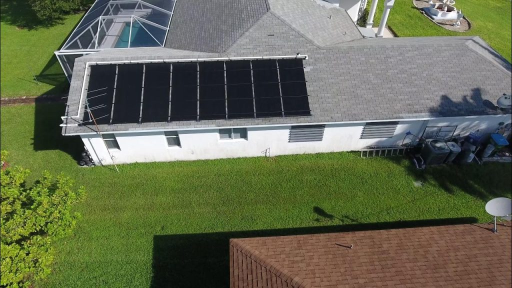
Roof Inspections That Support Smarter Maintenance
Roof inspections are often needed for maintenance, repair planning, and documentation. Drone inspections provide a safer alternative to manual evaluations by capturing clear imagery without requiring ladders or risky access. Roof Inspection Services help clients identify damage, assess conditions, and document areas of concern efficiently. For clients seeking Drone roof surveying solutions in U.S, Terranova Drones LLC delivers accurate visuals and professional reporting that supports confident next steps. The process is designed to be smooth, efficient, and focused on real outcomes, helping clients save time while maintaining safety and accuracy throughout the inspection.
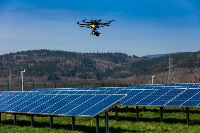
Data Acquisition That Strengthens Reporting and Planning
Drone data acquisition is valuable because it strengthens how teams plan and report. Instead of relying on inconsistent photos, teams receive clear visuals and organized data that can support progress documentation, project meetings, and future planning. Terranova Drones LLC focuses on delivering results that clients can use immediately, with transparency and professionalism. This approach supports stronger workflows and better decision-making across industries where accuracy matters. Reliable data creates smoother projects and stronger outcomes, especially when timelines are tight and expectations are high.
Mapping and Data That Supports Long-Term Value
The greatest benefit of drone mapping is that it supports more than one moment in time. It creates documentation that can be used for future planning, reporting, and decision-making. Terranova Drones LLC provides aerial data acquisition with transparency and professionalism, ensuring clients receive results that are organized and usable. Whether the project involves construction, communications, or inspections, accurate mapping improves productivity and reduces risk. As the company expands into more industries and states, the mission remains clear: provide drone solutions that improve safety, improve productivity, and deliver data clients can trust to complete their end goals with confidence.